Inspired Flight Technologies
MicaSense RedEdge-P – Multispectral Camera Payload
MicaSense RedEdge-P – Multispectral Camera Payload
Couldn't load pickup availability
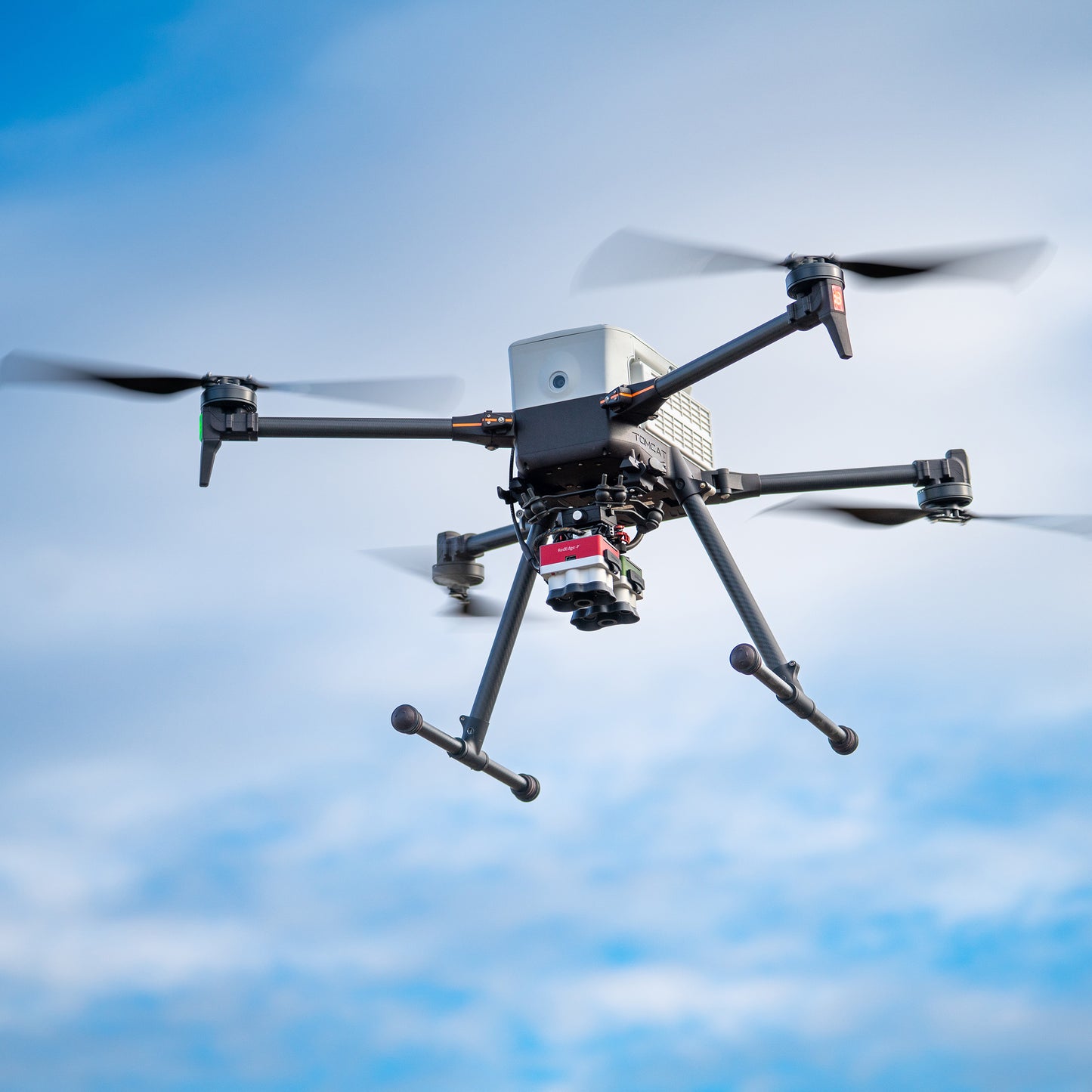
The MicaSense RedEdge-P is a high-resolution multispectral imaging sensor designed for precision agriculture and advanced aerial data collection. Available in single and dual camera configurations, it is compatible with both IF800 and IF1200 platforms when paired with the required integration kit.
Key Features
High-Resolution Multispectral Imaging
- Captures detailed multispectral data for vegetation analysis
- Optimized for high-accuracy mapping and research applications
Single or Dual Camera Configurations
- Single: Standard RedEdge-P multispectral sensor
- Dual: RedEdge-P + RedEdge-P Blue for expanded spectral capture
- Dual configuration enables enhanced analysis and research capabilities
Precision Agriculture Focused
- Supports NDVI and advanced vegetation index workflows
- Ideal for crop health monitoring and field analysis
Platform Compatibility
- Compatible with both IF800 and IF1200 platforms
- Works with Smart Dovetail (any damping kit)
Integration Requirements
- Requires Universal MicaSense Integration Kit for operation
- Designed to integrate seamlessly into IFT workflows
What’s Included
Single Camera Configuration:
- MicaSense RedEdge-P Camera
Dual Camera Configuration:
- MicaSense RedEdge-P
- MicaSense RedEdge-P Blue
- Dual Camera Mount
Applications / Use Cases
- Precision agriculture and crop health monitoring
- Advanced research and spectral analysis
- Forestry and vegetation management
- Environmental monitoring
- Land management and planning
Integration with Inspired Flight
The MicaSense RedEdge-P is compatible with both IF800 and IF1200 platforms using the Smart Dovetail system. When paired with the Universal MicaSense Integration Kit, operators can deploy a fully integrated, NDAA-compliant solution for multispectral data collection.
System Configuration Notice
Pricing reflects the selected camera configuration only. Integration hardware, mounting kits, and aircraft platform (IF800 or IF1200) are not included.
Share