Phoenix LiDAR Systems for Inspired Flight Aircraft
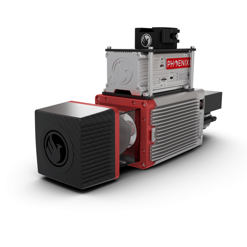
Phoenix LiDAR Systems builds advanced mapping payloads trusted by survey professionals who need precision, flexibility and strong performance in complex terrain. Their lineup ranges from lightweight scanners for rapid deployment to long range systems capable of capturing dense data over forests, canyons and industrial sites. Each system is built around accurate IMUs, clean integration and reliable data workflows backed by Phoenix engineering.
Mounted on Inspired Flight aircraft, Phoenix payloads benefit from stable flight, extended mission time and NDAA compliant airframes. The combination supports demanding projects like corridor mapping, structural inspection, terrain modeling and environmental monitoring. The result is consistent, high quality point clouds that hold up in design grade workflows.