The IF800 NDAA-Compliant LiDAR Kit is built for surveyors and geospatial teams who need higher-density point clouds and improved accuracy for demanding mapping environments.
Built around the IF800 platform and powered by the GeoCue TrueView 641, this kit delivers advanced LiDAR performance for terrain modeling, corridor mapping, and complex survey workflows. It’s a proven configuration designed to produce consistent, high-quality datasets across challenging conditions.
What’s Included
- IF800 Aircraft
- GS-One Ground Controller
- GeoCue TrueView 641 LiDAR Payload
- LiDAR Integration Kit
- IF800 Battery Kit (4 Batteries + 2 Chargers)
- Additional 2 IF800 Smart Batteries + 2 Chargers
- Rugged Transport Case
- Inspired Care Elite Coverage
- Travel Expense Coverage for Training / Support
Key Features
High-Density LiDAR Data Capture
The TrueView 641 is designed to generate high-density point clouds, supporting detailed terrain modeling and accurate mapping across complex environments.
Multi-Return LiDAR for Vegetation Penetration
Capture multiple returns per pulse, enabling improved ground detection through vegetation and more reliable terrain modeling in forested or obstructed areas.
Integrated RGB Camera for Colorized Point Clouds
An integrated RGB camera provides visual context, enabling colorized LiDAR datasets for enhanced analysis and deliverables.
Georeferenced Point Cloud Generation
Equipped with an integrated GNSS/IMU system, the TrueView 641 produces accurately georeferenced point clouds, supporting streamlined processing and reliable outputs.
Designed for Advanced Mapping Workflows
Ideal for projects requiring higher precision, greater detail, and consistent performance across large or complex sites.
All-Day Power for Field Operations
With 6 total batteries and 4 chargers, this kit supports extended LiDAR missions, minimizing downtime and keeping your team productive on-site.
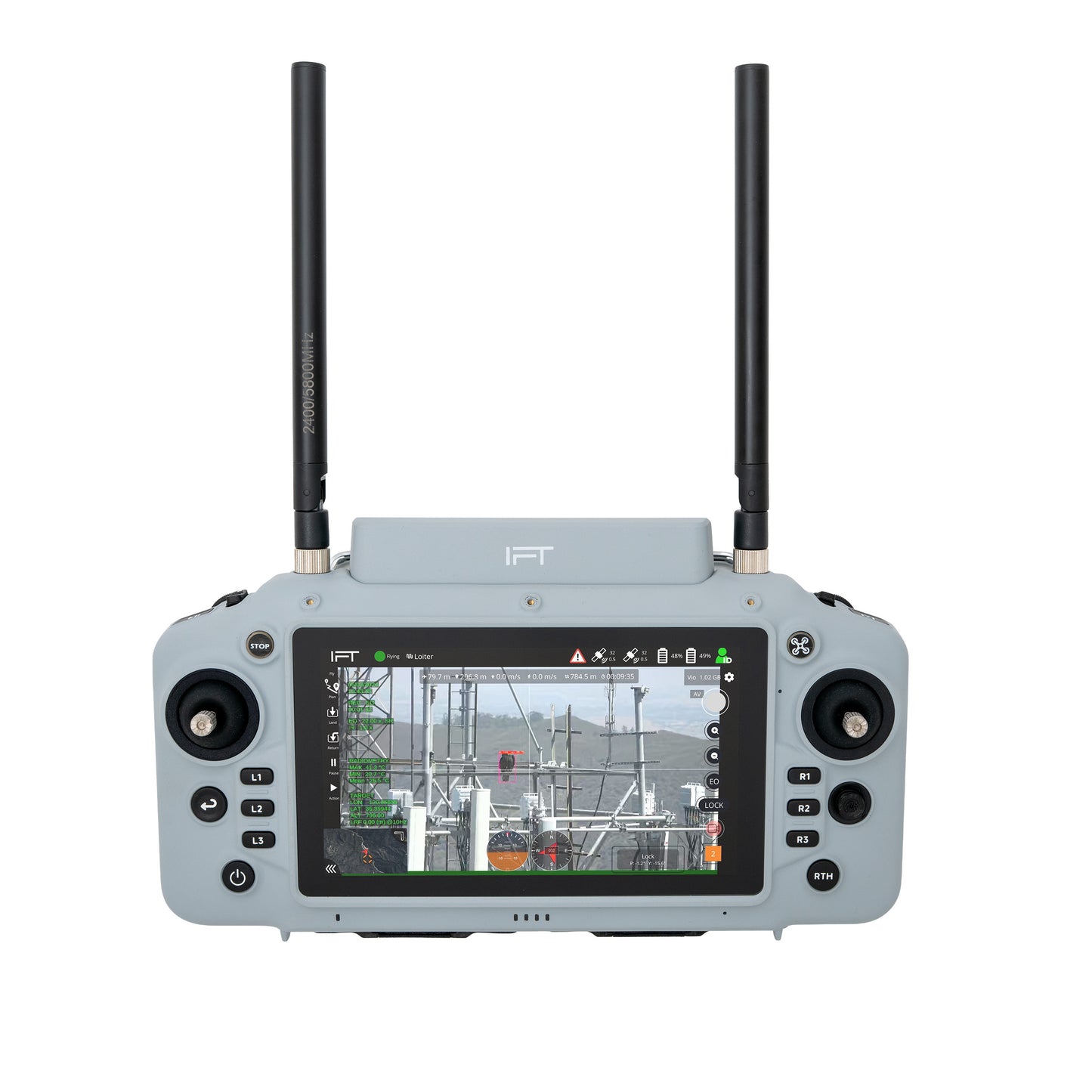
GS-One Ground Control System
High-brightness display with integrated controls for reliable operation in outdoor environments, supporting mission planning and real-time telemetry.
Stable Flight Performance with LiDAR Payloads
Delivers consistent flight behavior and reliable data capture, supporting repeatable LiDAR missions across varied terrain.
Ready-to-Deploy LiDAR Workflow
Includes the LiDAR integration kit, ensuring seamless compatibility between payload and aircraft with minimal setup.
Field-Ready Transport
Rugged case keeps your system protected and organized for deployment in demanding environments.
Elite Training + Support Coverage
Includes Inspired Care Elite with travel support, helping your team get operational quickly with hands-on training and ongoing assistance.
Applications / Use Cases
- High-Accuracy LiDAR Surveying
- Corridor Mapping (Utilities, Rail, Transportation)
- Forestry and Vegetation Analysis
- Topographic Mapping in Dense Environments
- Digital Terrain Model (DTM) Generation
Integration with Inspired Flight
Fully integrated with the IF800 platform, this system delivers a seamless high-performance LiDAR mapping experience. NDAA-compliant and built for organizations that require secure, reliable geospatial data collection.
Why This Kit
This kit provides an advanced LiDAR solution designed for teams that need higher data density and improved mapping performance. It reduces integration complexity, accelerates deployment, and delivers consistent results across demanding survey environments.